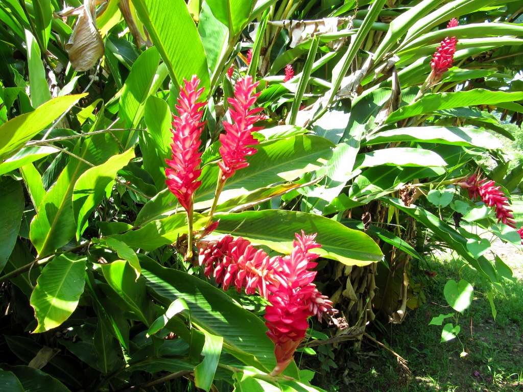
After checking out all the gorgeous plant specimens in the Orquideas Moxviquil botanical garden, it was time to take a woodland hike. There's a 2.5 km loop trail (though it felt longer!) beginning right behind the garden and leading up to a wonderful view of San Cristobal. We had read about this hike in Tripadvisor and were looking forward to locating the trail.
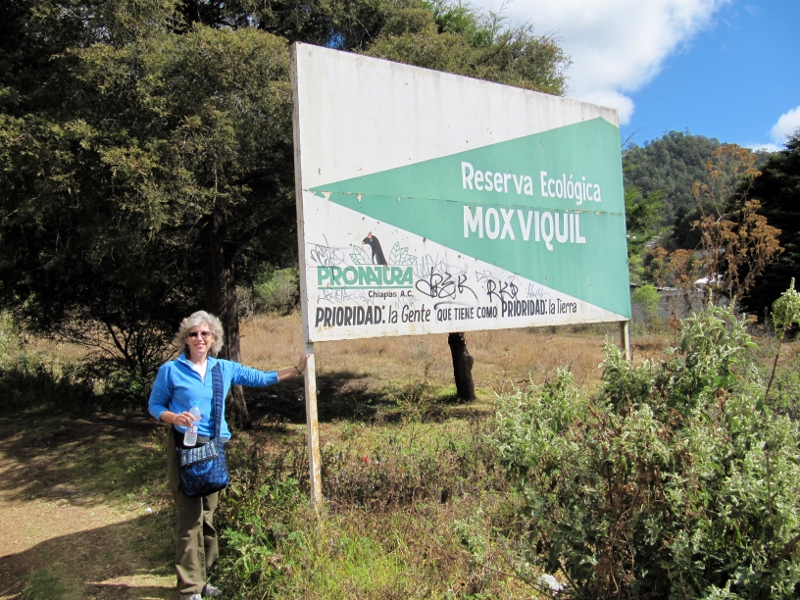
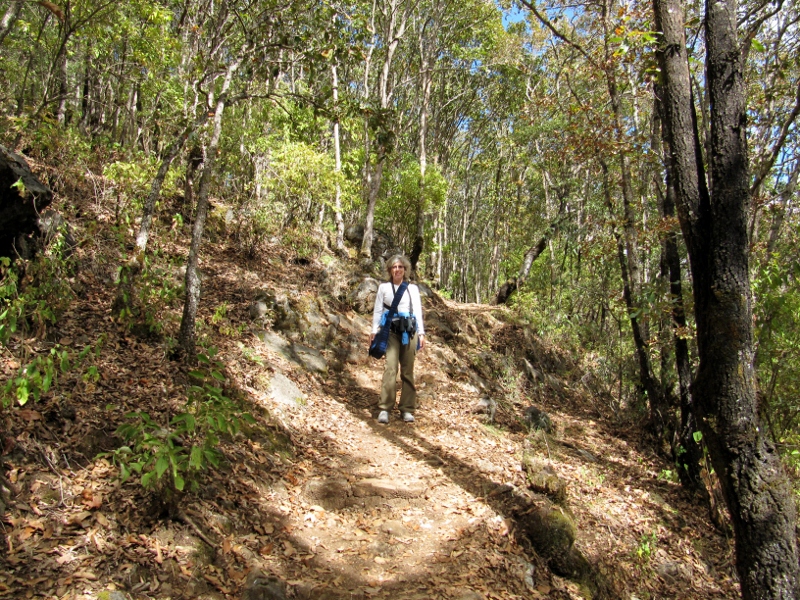
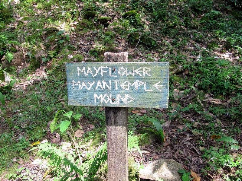
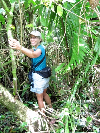
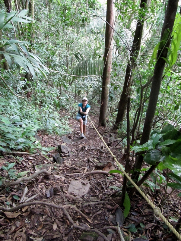
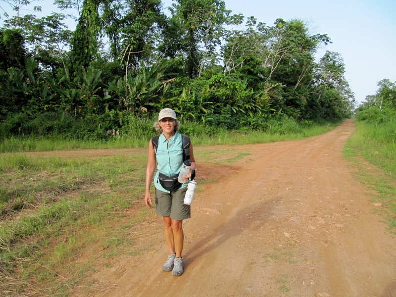
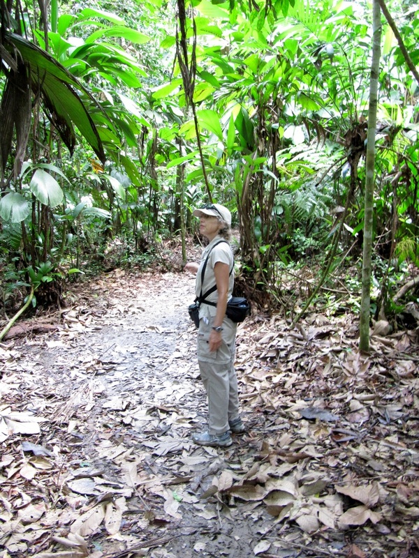
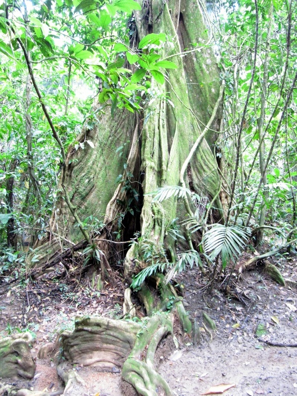
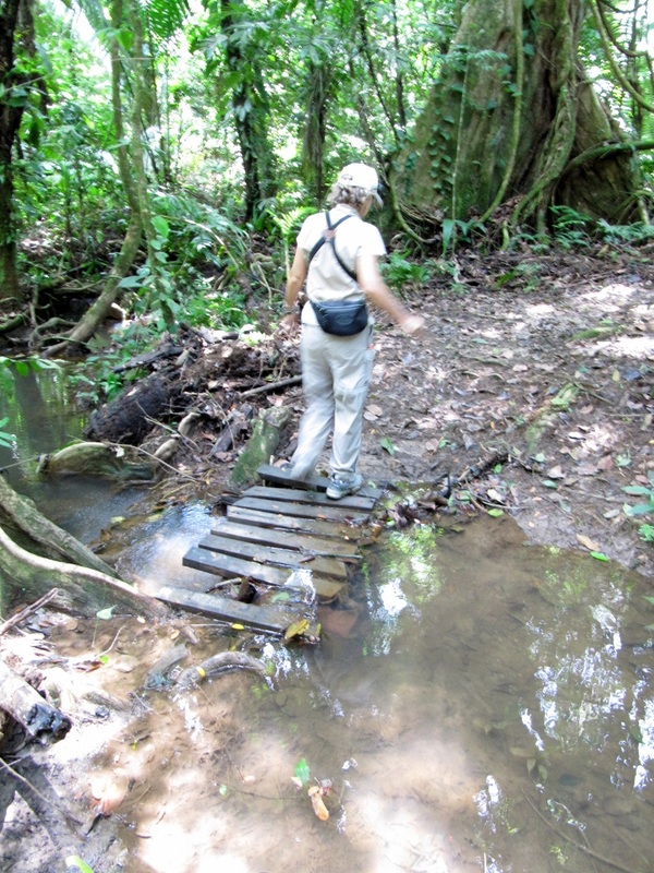
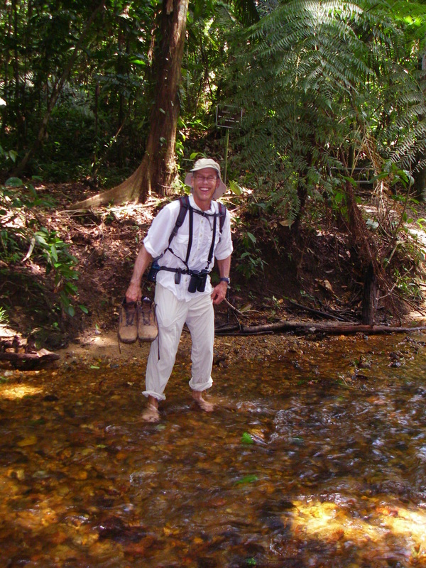
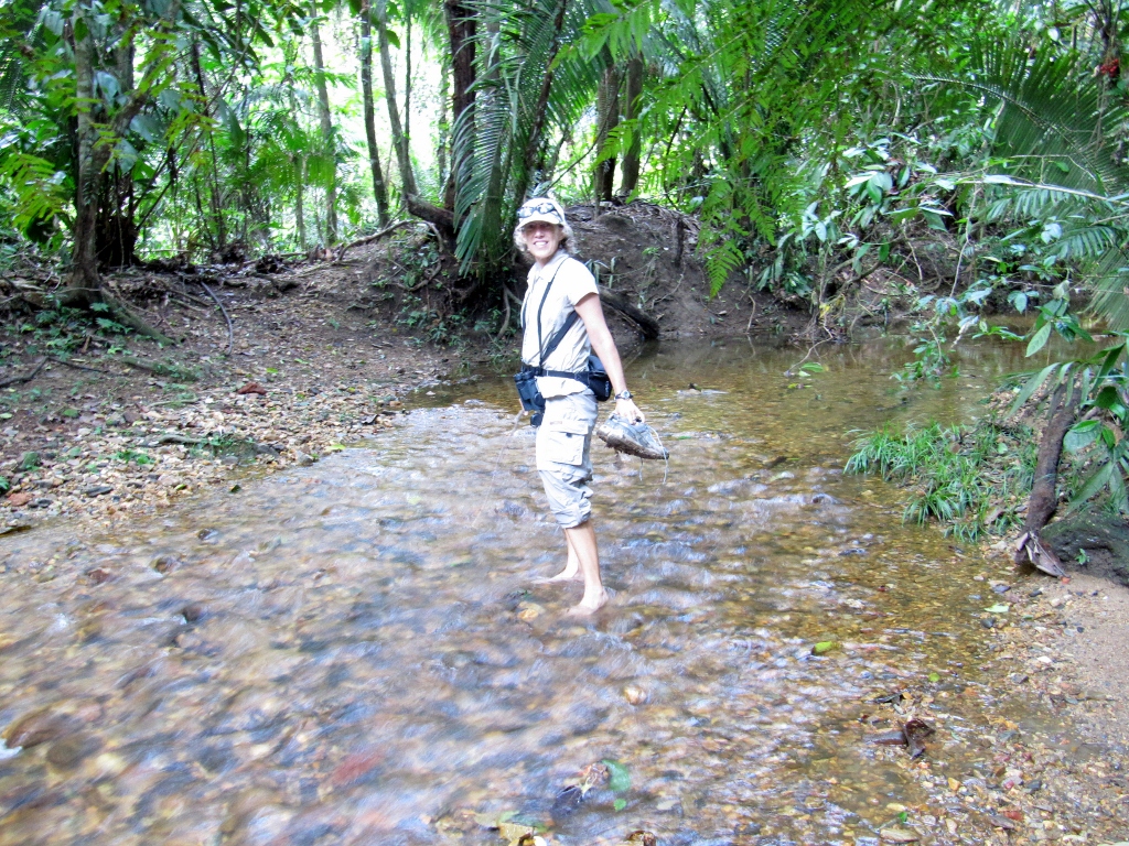
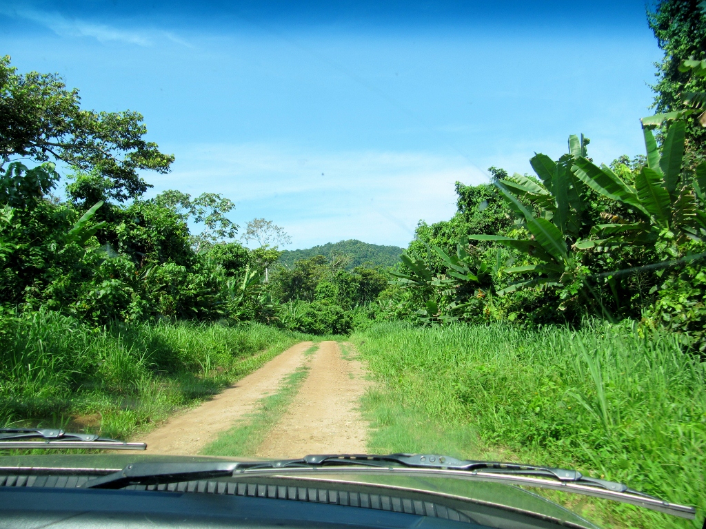
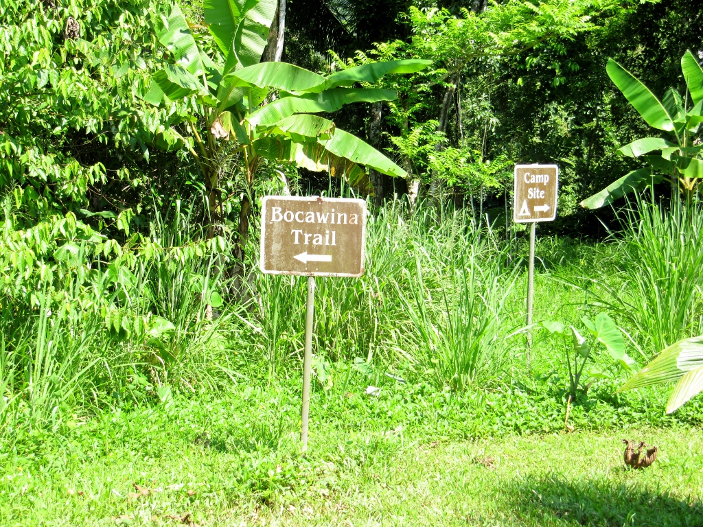
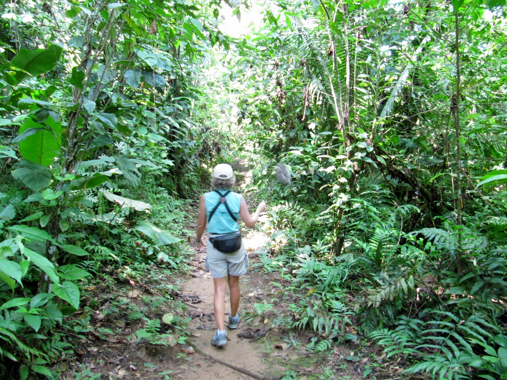
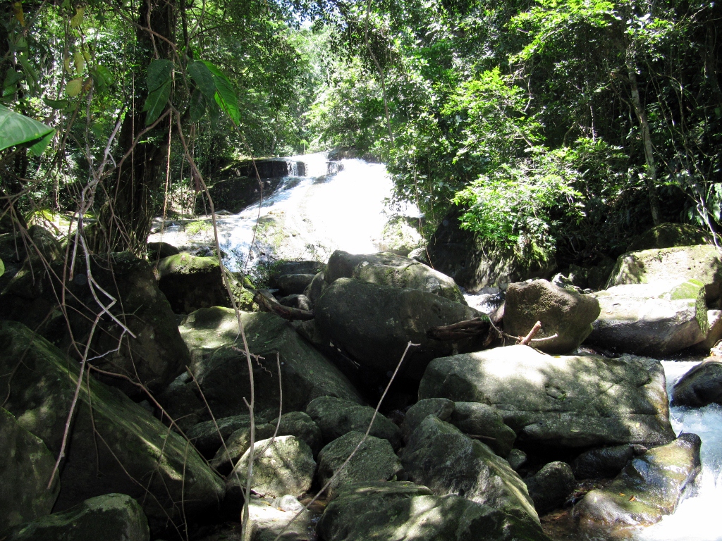
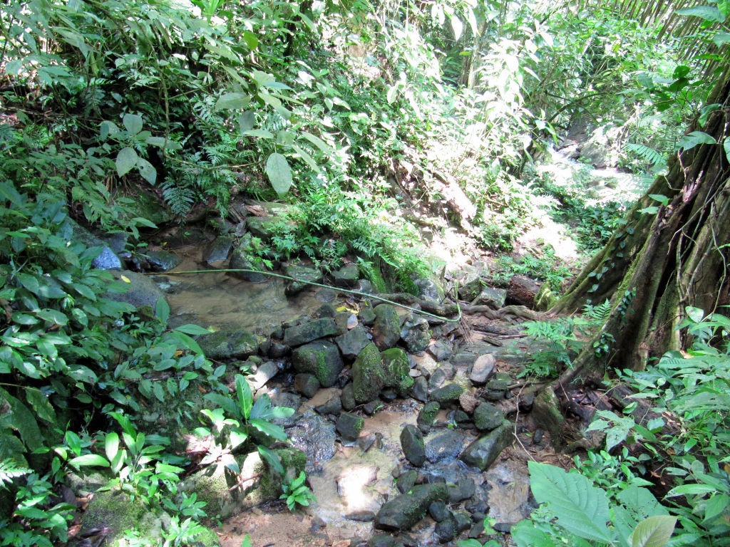
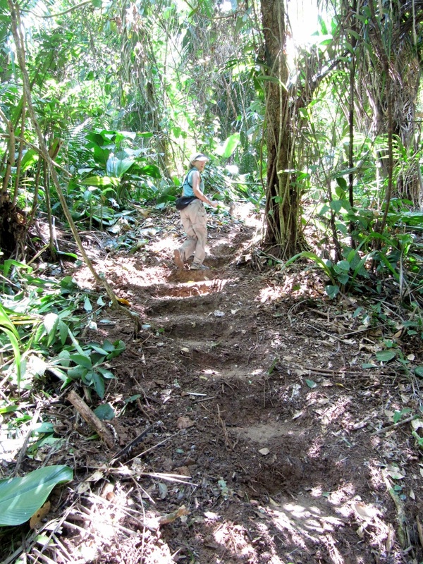
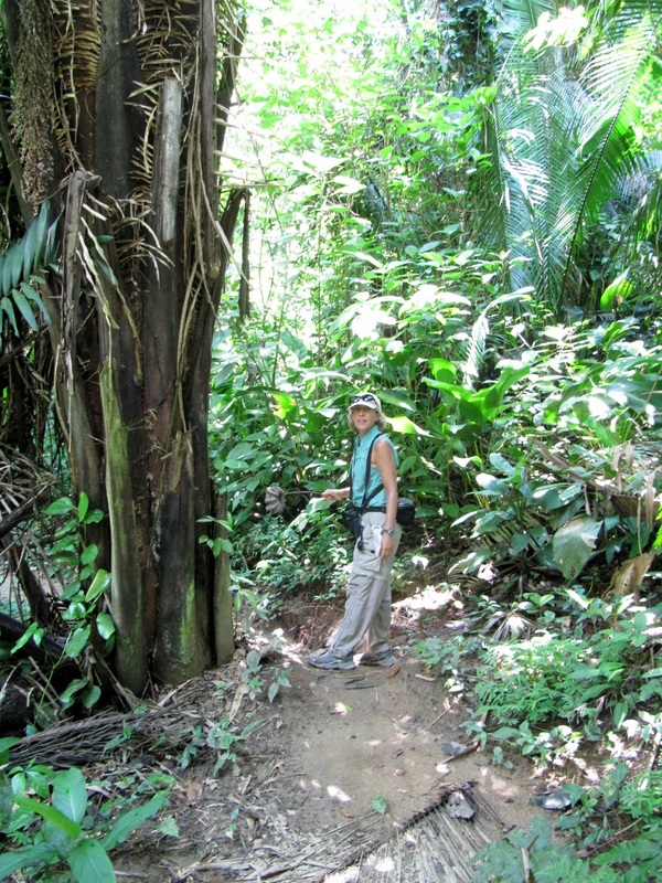
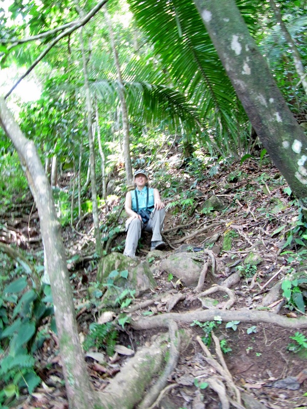
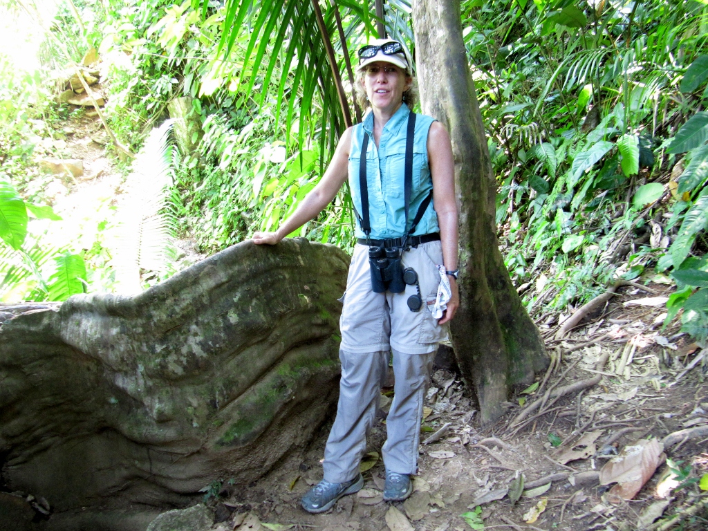
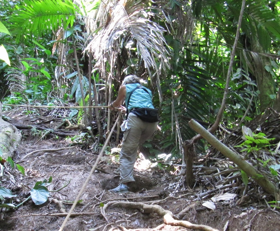
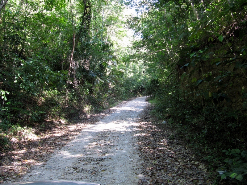
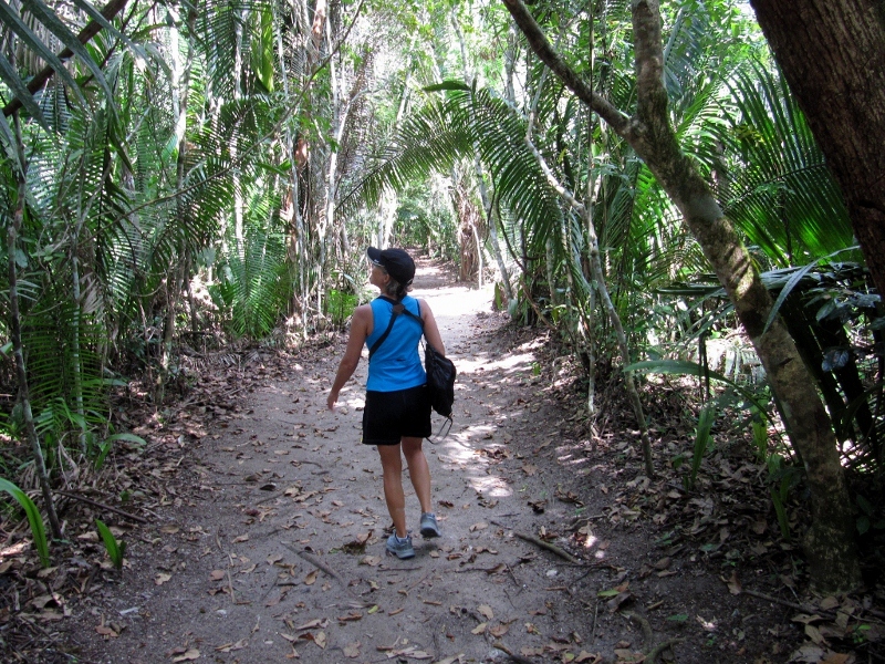
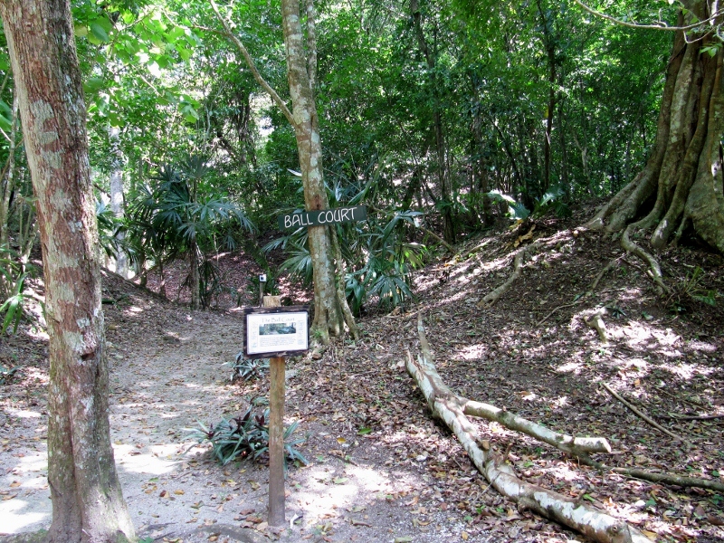
But first, a few photos of our initial attempt to locate the orchid garden, which I mentioned in the previous post. When we saw the first sign for the preserve, we thought we needed to hike on the trail by the sign to get to the garden. So, we enjoyed a short hike into the forest before we realized that we needed to turn back to the road and continue along a bit farther to find the garden.
But first, a few photos of our initial attempt to locate the orchid garden, which I mentioned in the previous post. When we saw the first sign for the preserve, we thought we needed to hike on the trail by the sign to get to the garden. So, we enjoyed a short hike into the forest before we realized that we needed to turn back to the road and continue along a bit farther to find the garden.
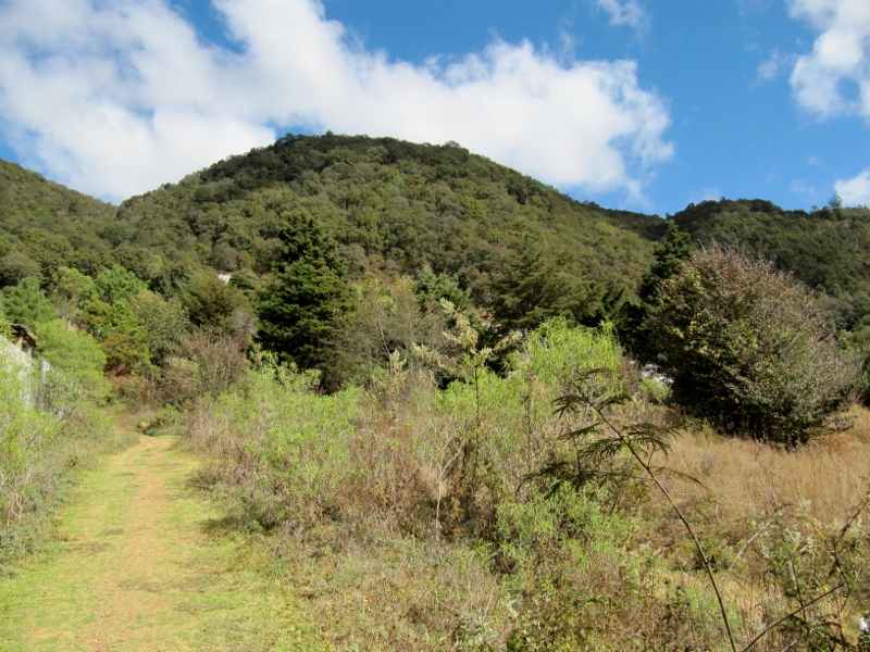
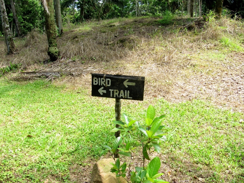
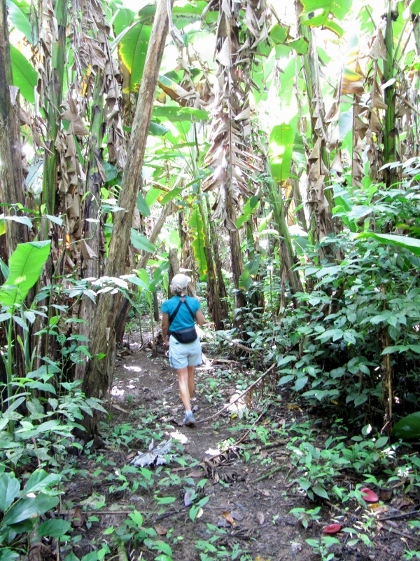
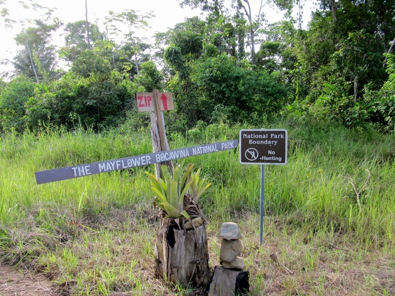
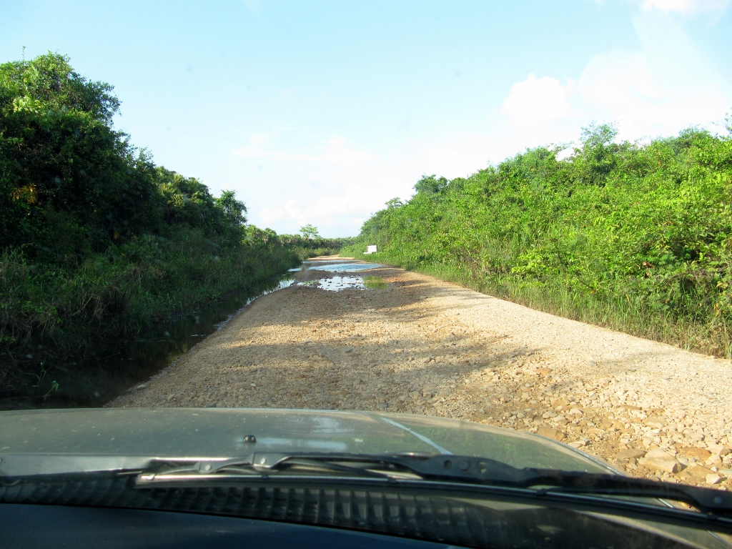
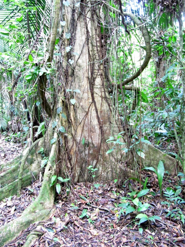
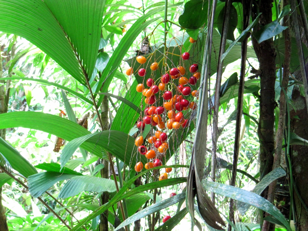
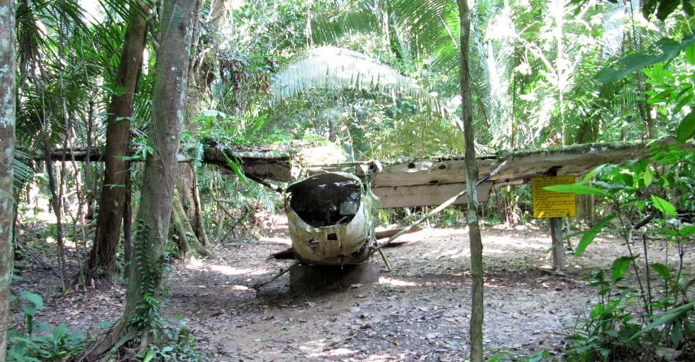
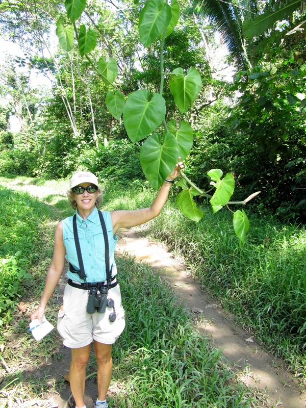
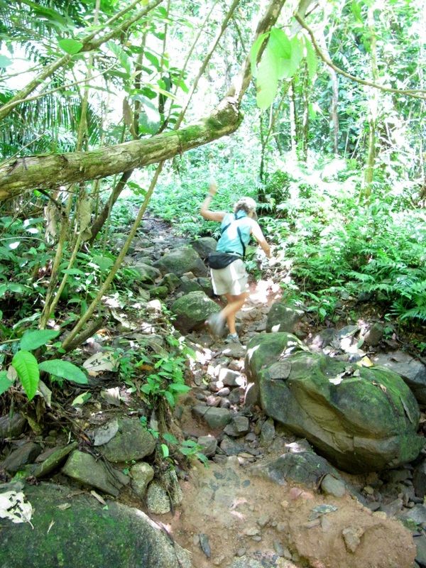
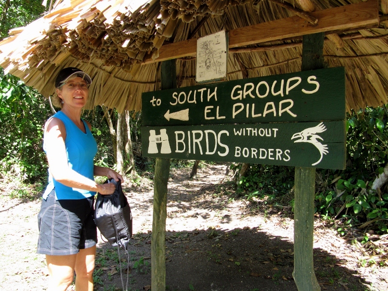
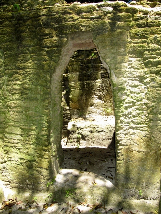
Perhaps the orchid garden is hidden up this trail?
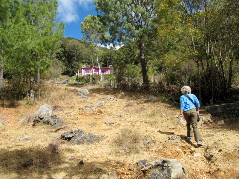
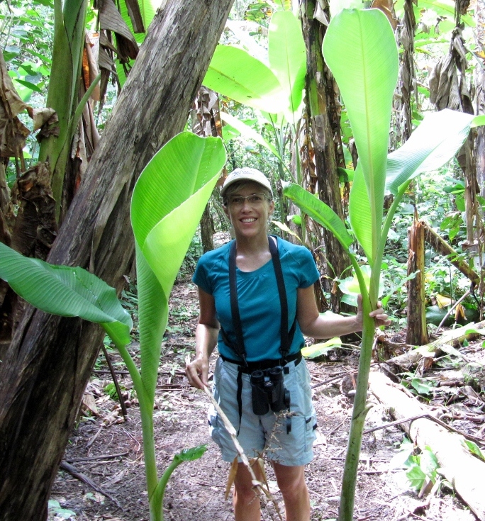
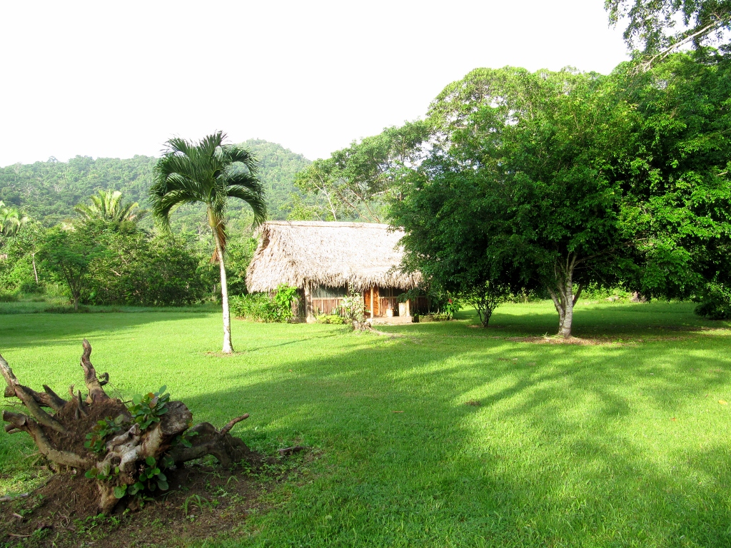
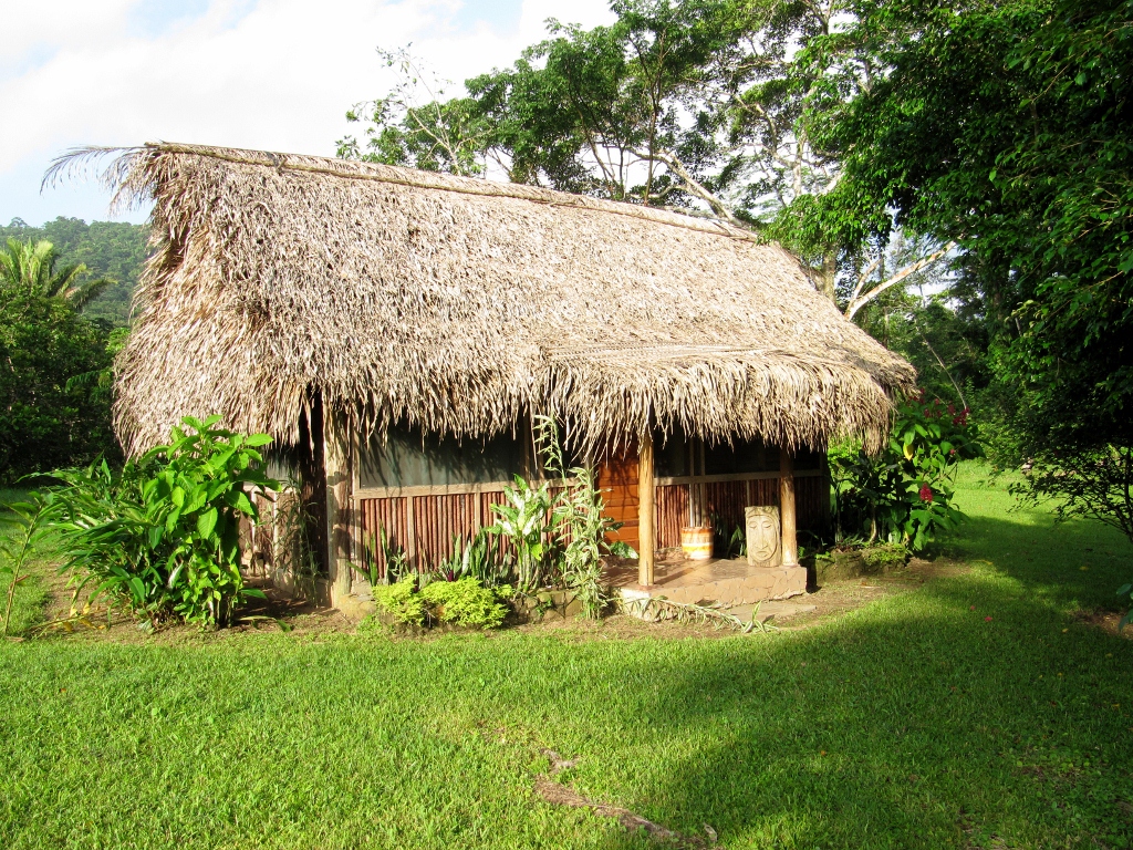
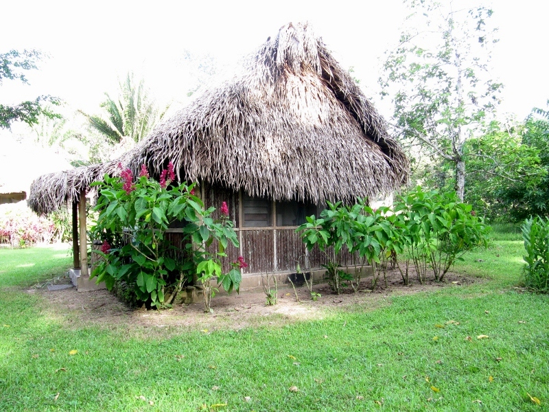
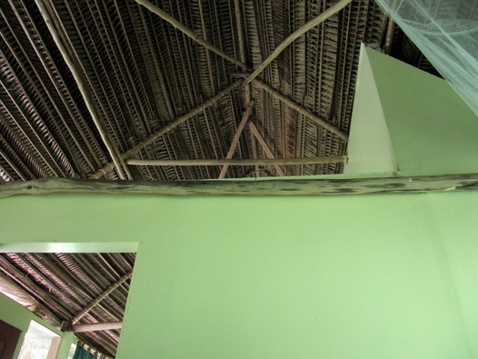
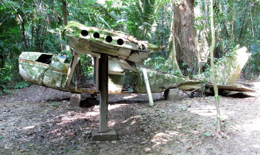
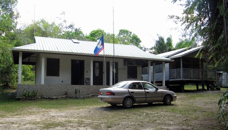
But alas, all we found was a private home
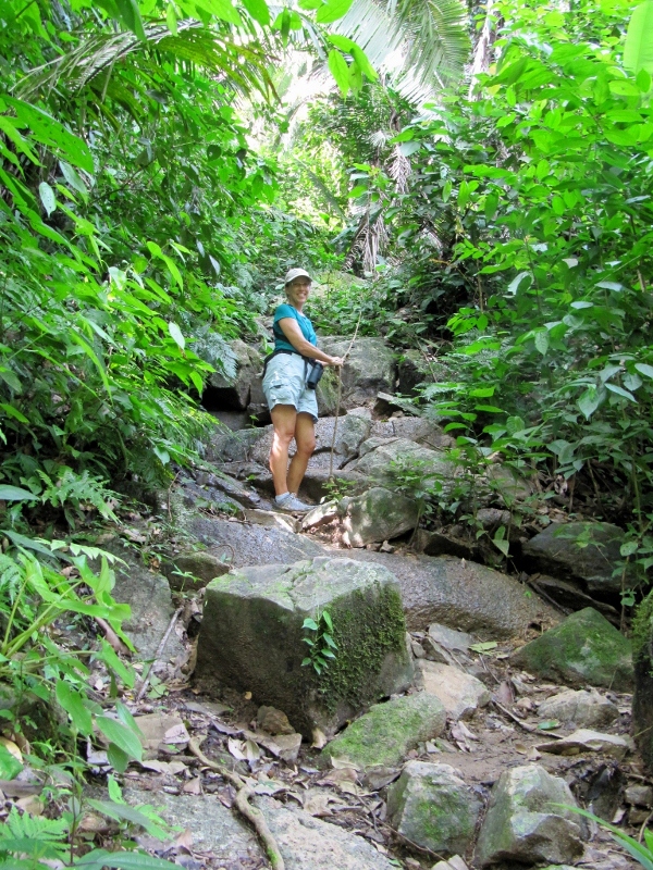
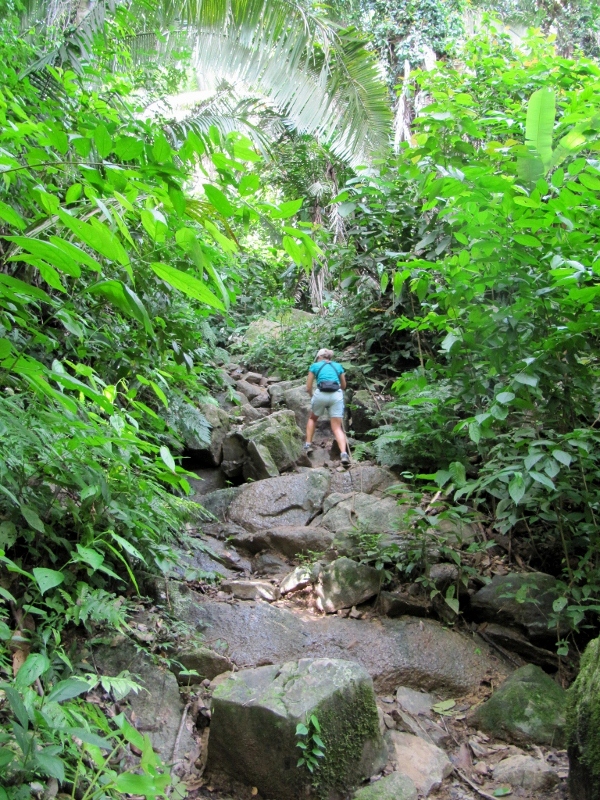
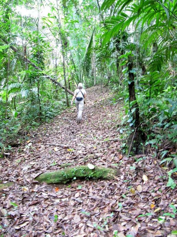
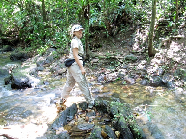
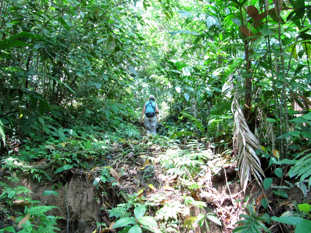
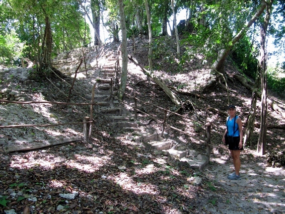
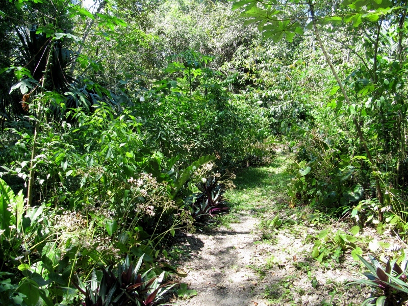
Now, onto the trail from the back of the orchid garden. We had it completely to ourselves and did not encounter another hiker. Perfect!
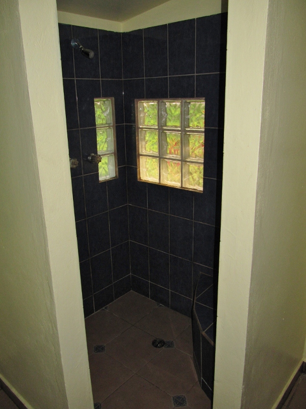
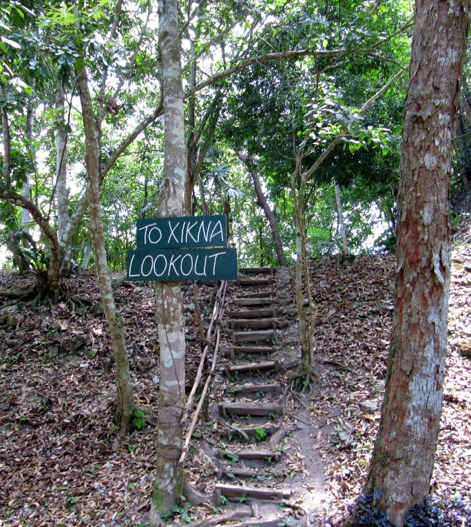
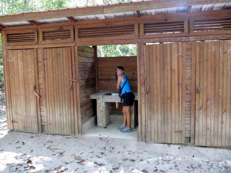
The trailhead behind the "artsy outhouses" featured in our last post
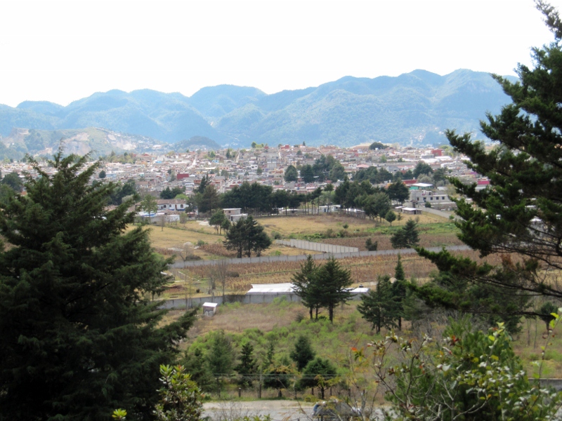
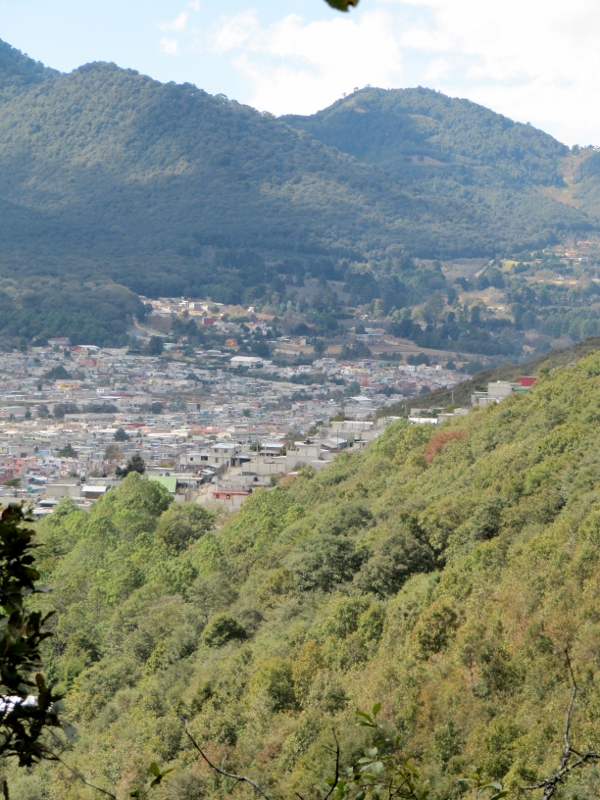
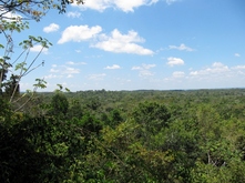
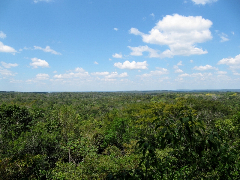
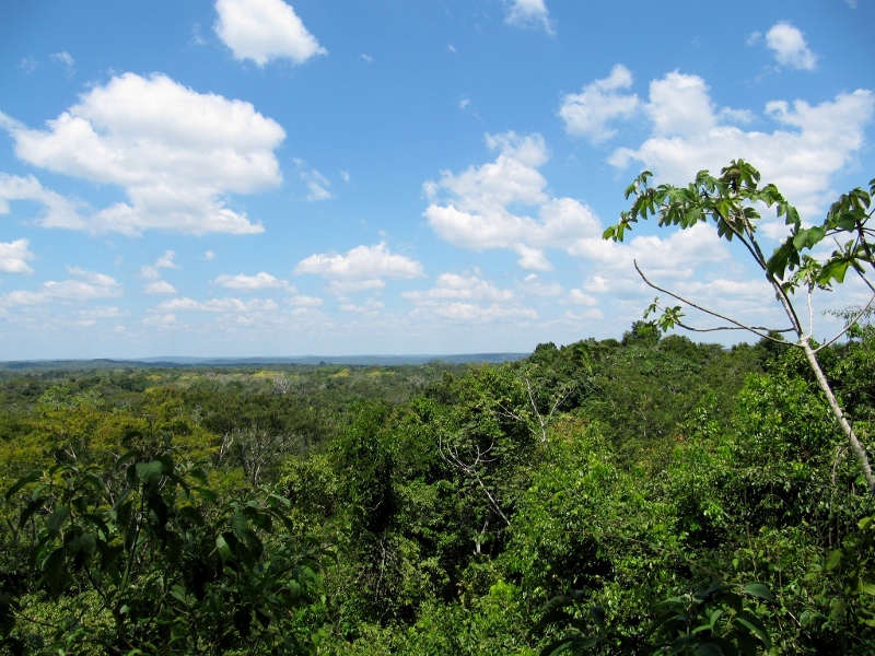
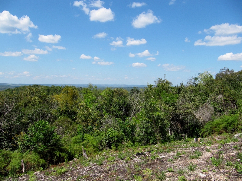
Great view of San Cristobal as we climbed the trail
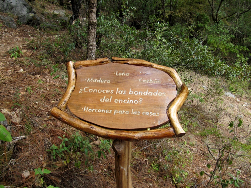
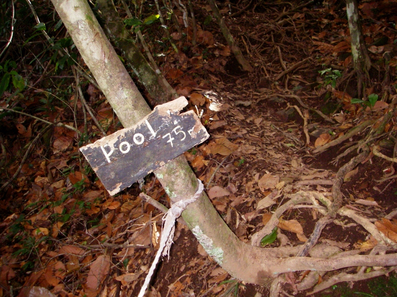
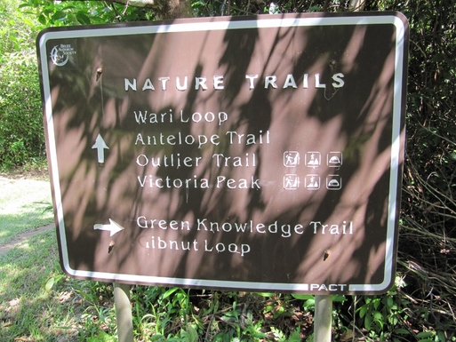
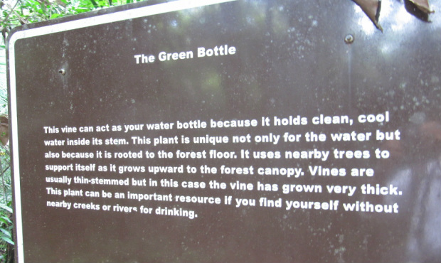
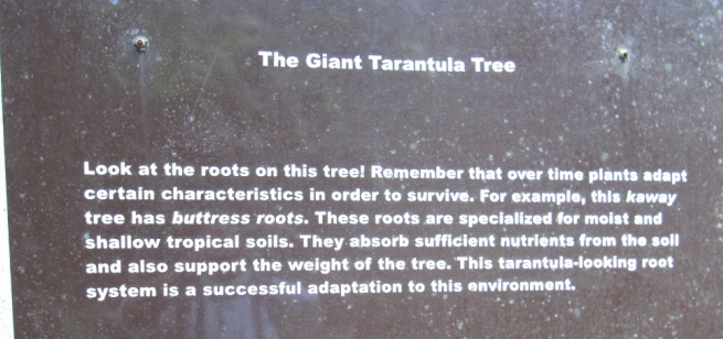
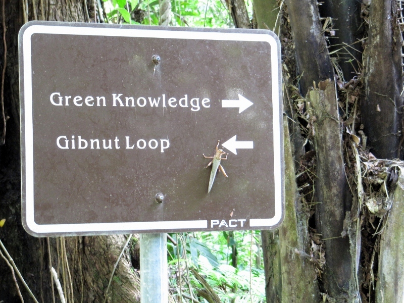
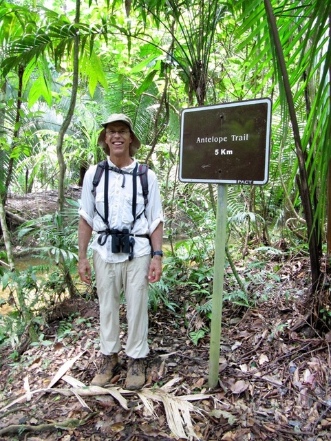
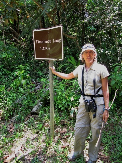
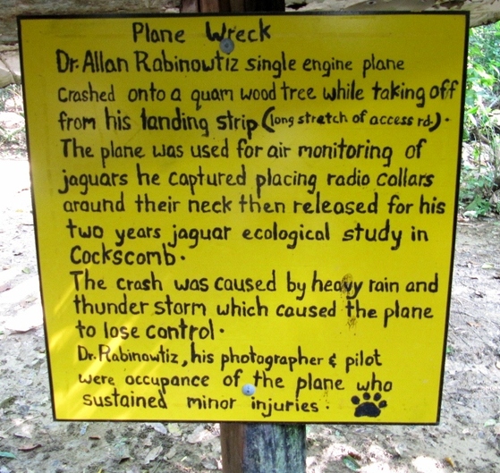
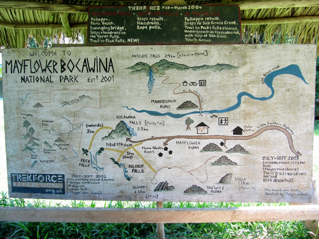
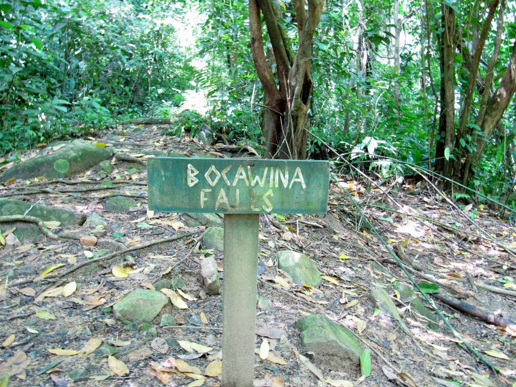
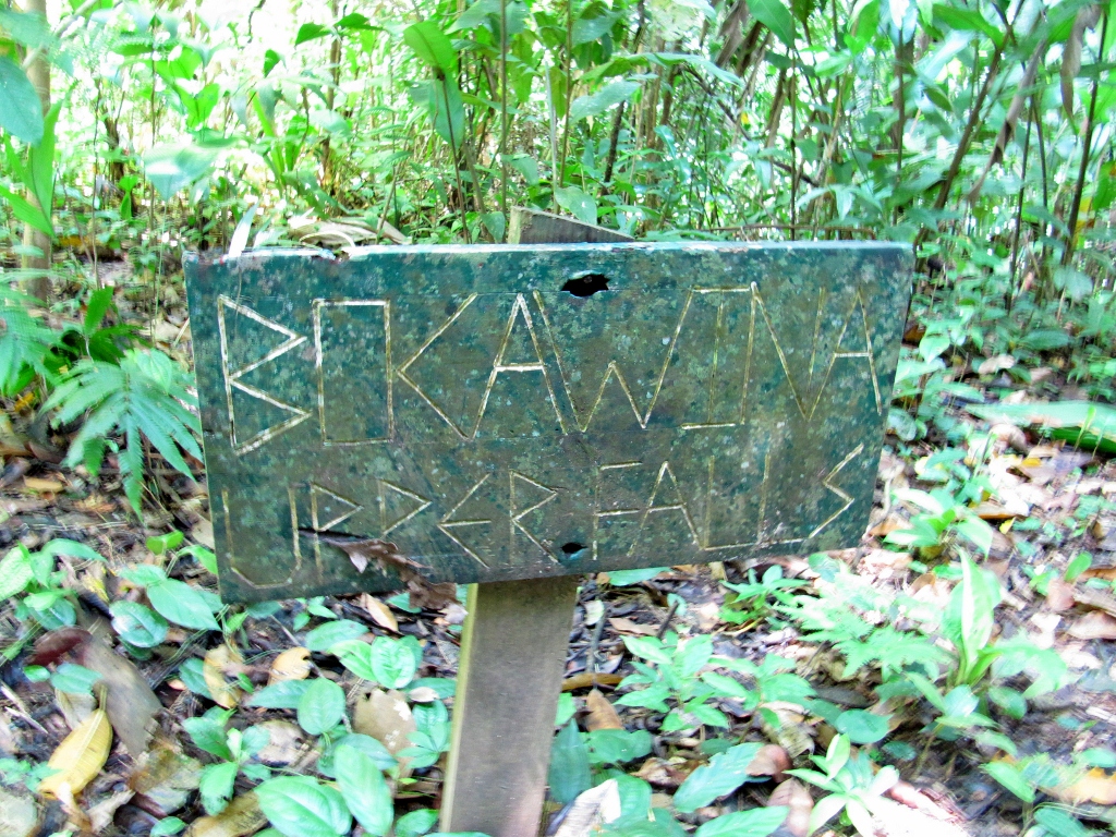
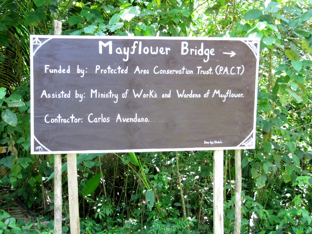
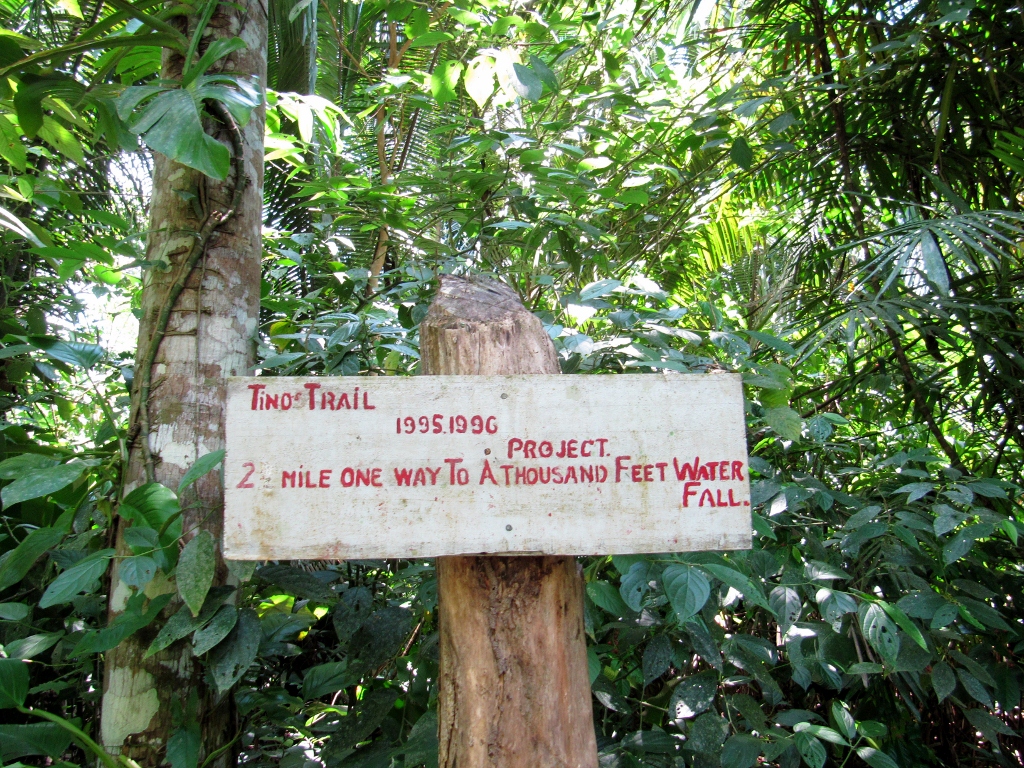
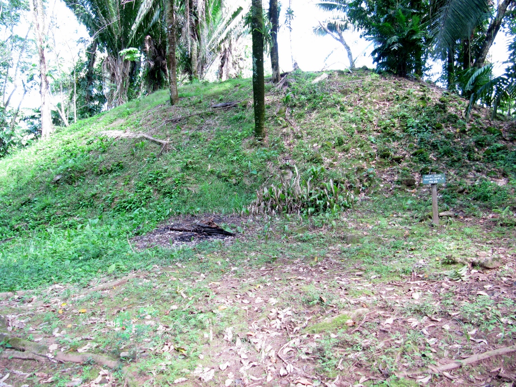
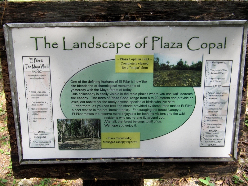
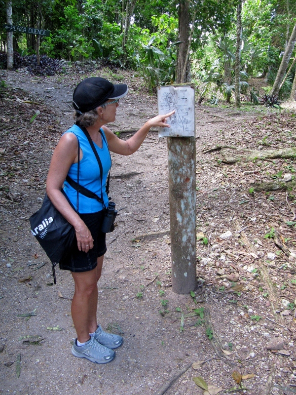
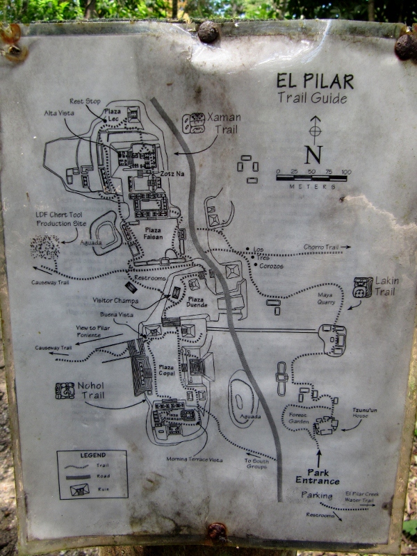
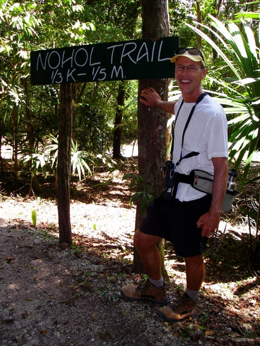
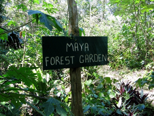
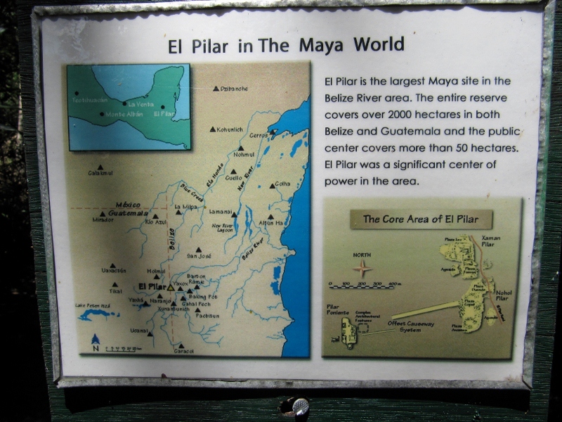
There were signs like this all along the trail
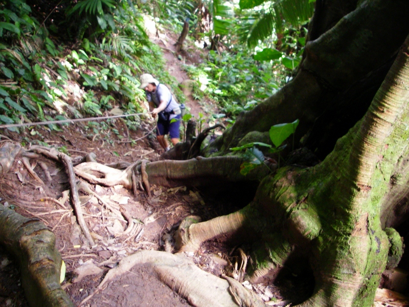
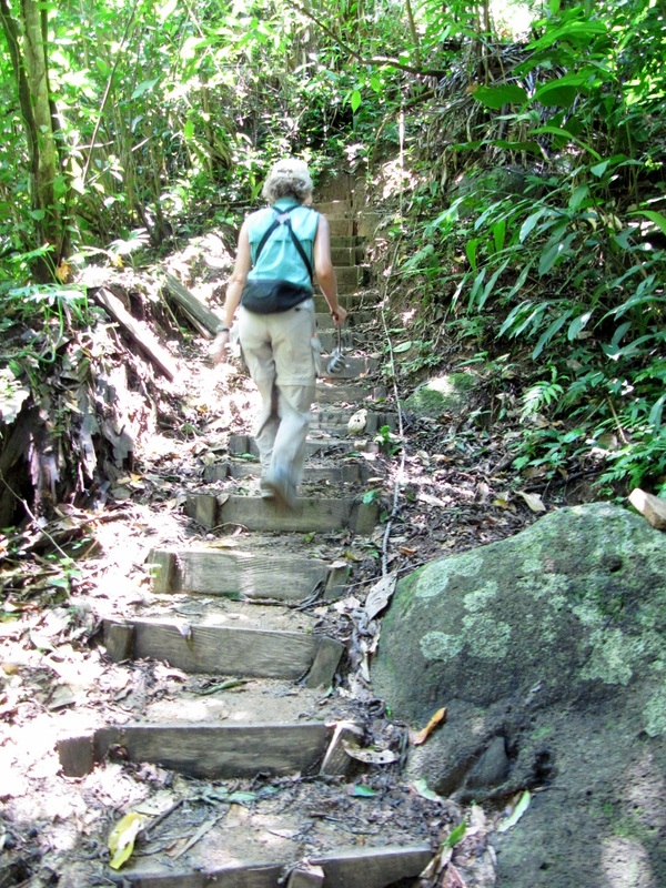
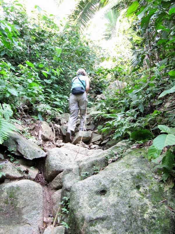
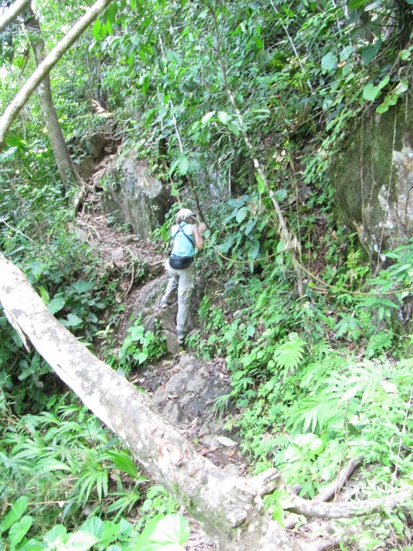
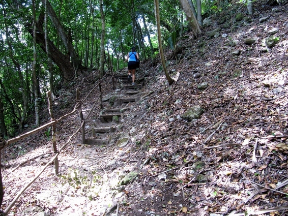
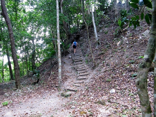
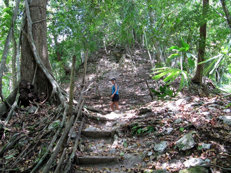
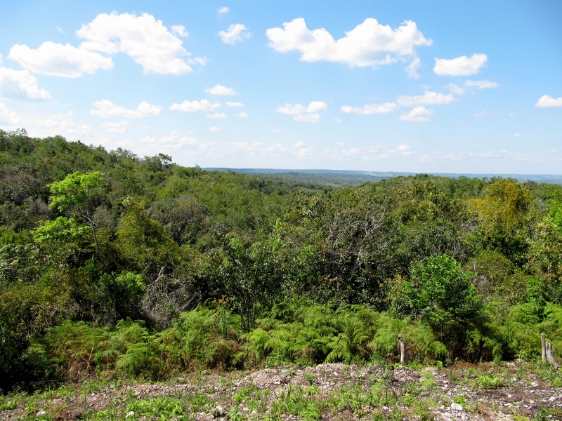
Getting higher up!
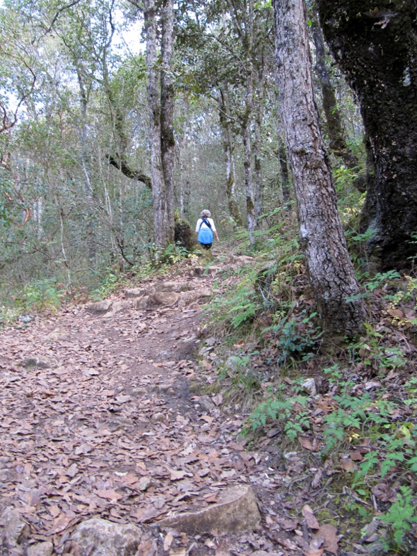
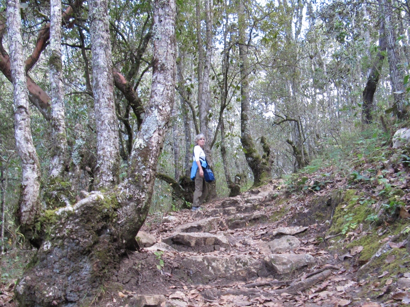
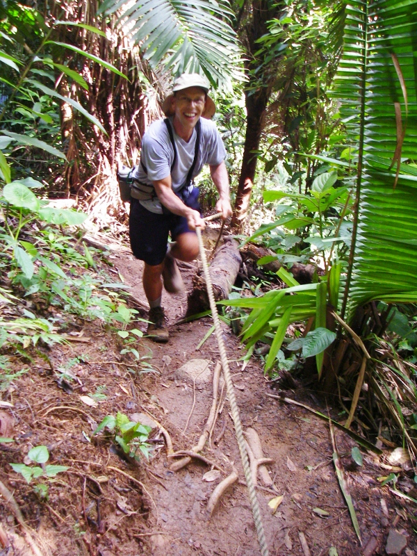
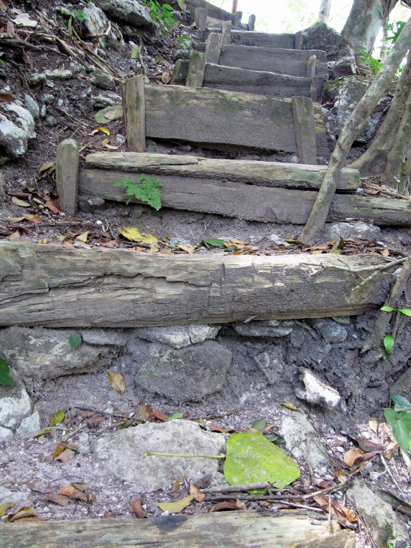
Plenty of climbing!
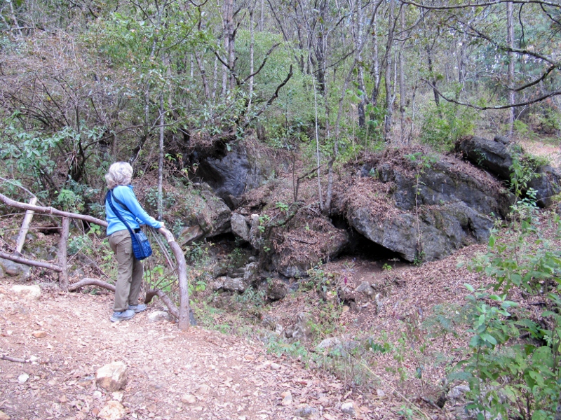
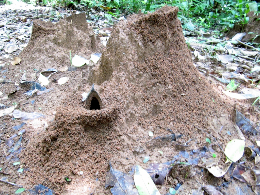
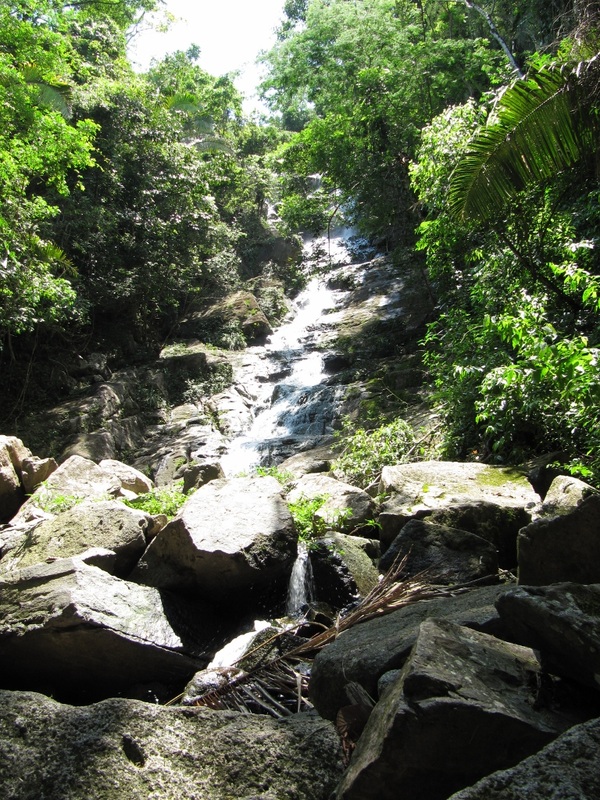
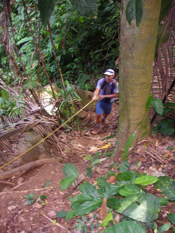
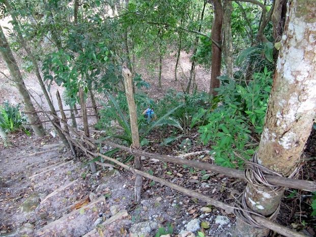
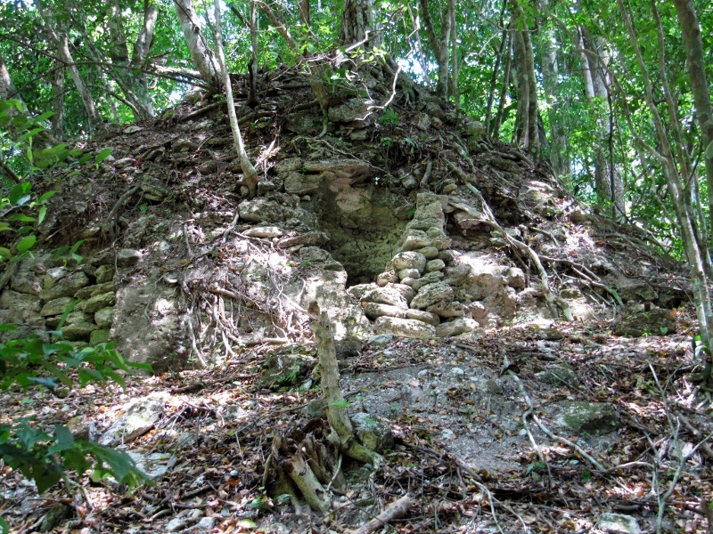
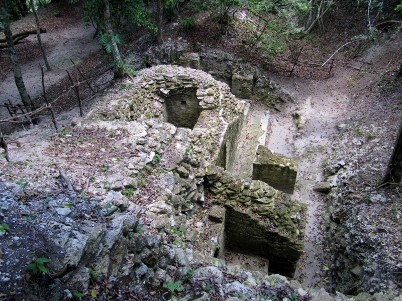
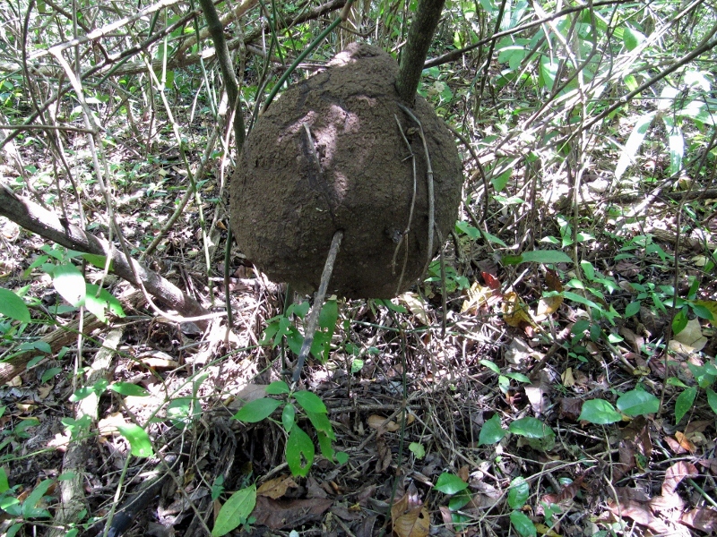
We came upon this limestone sinkhole/cave near the top of the trail.
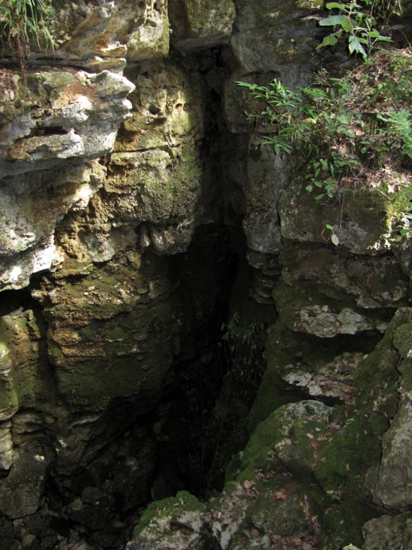
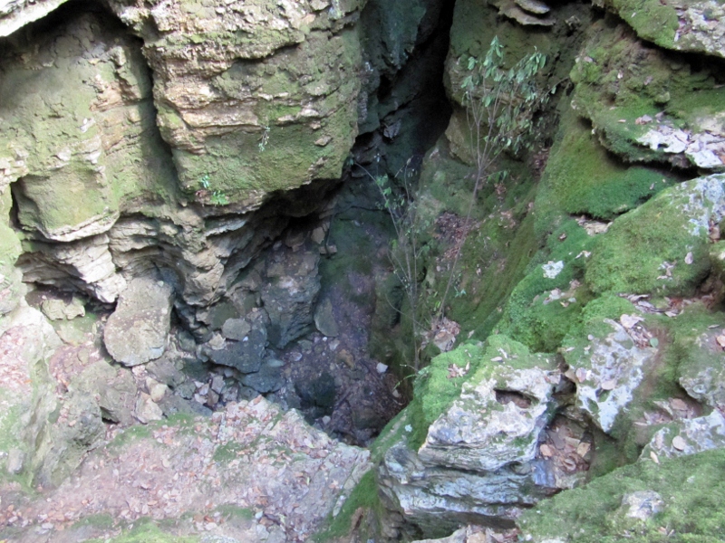
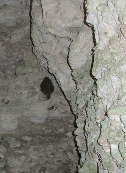
Looking down into it -- during rainy season I am betting there's water in here
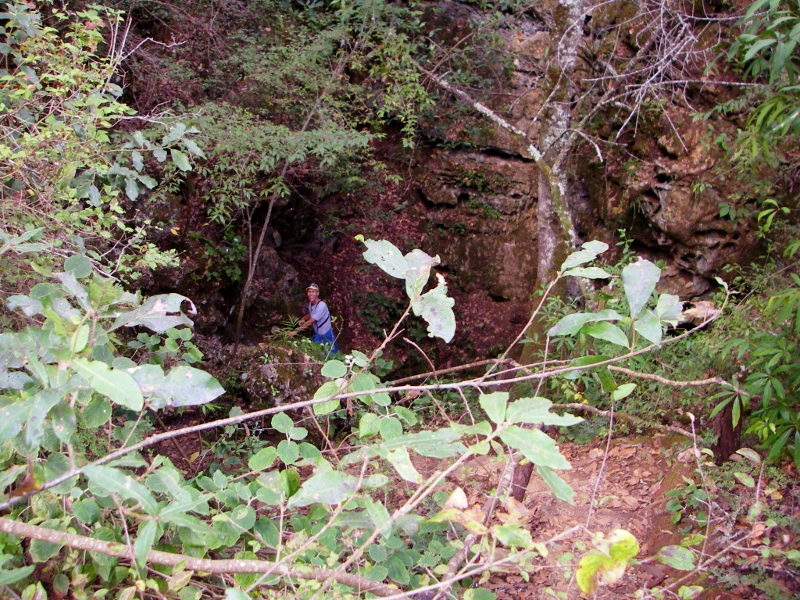
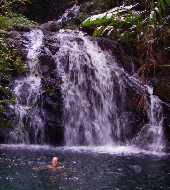
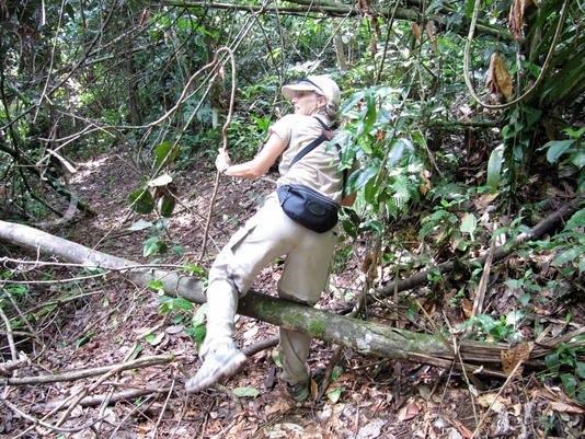
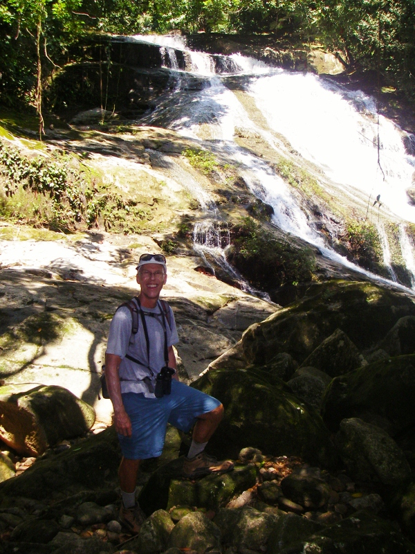
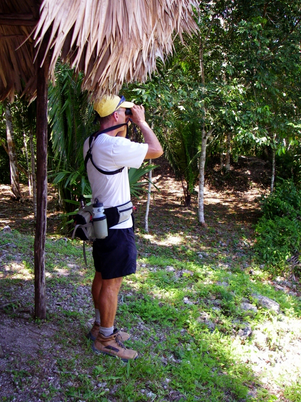
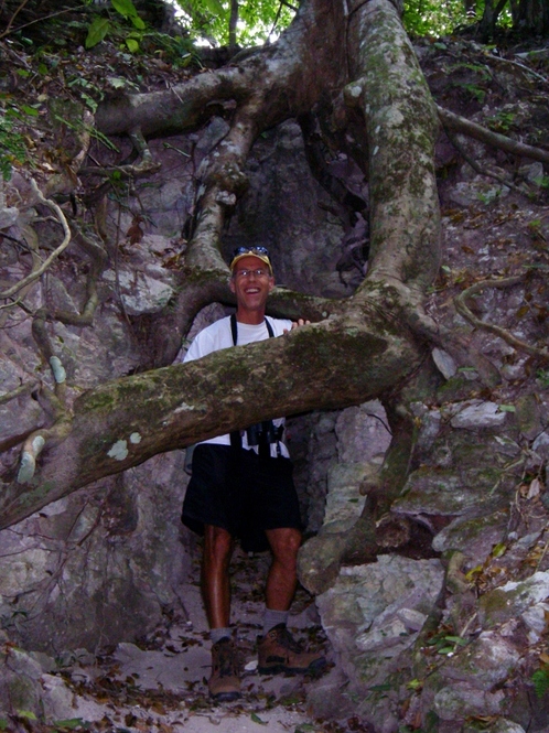
Naturally Barry had to climb down for a closer look!
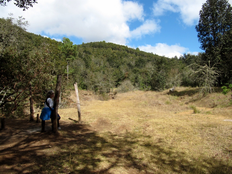
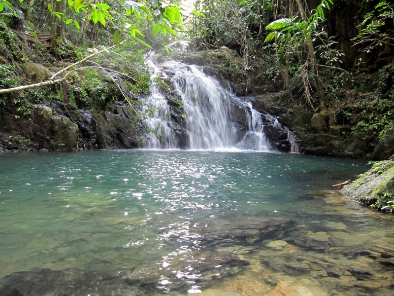
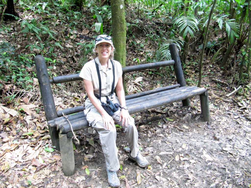
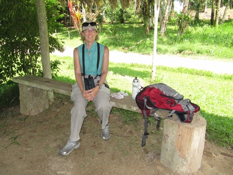
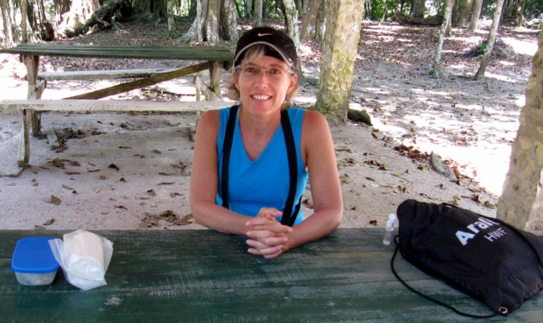
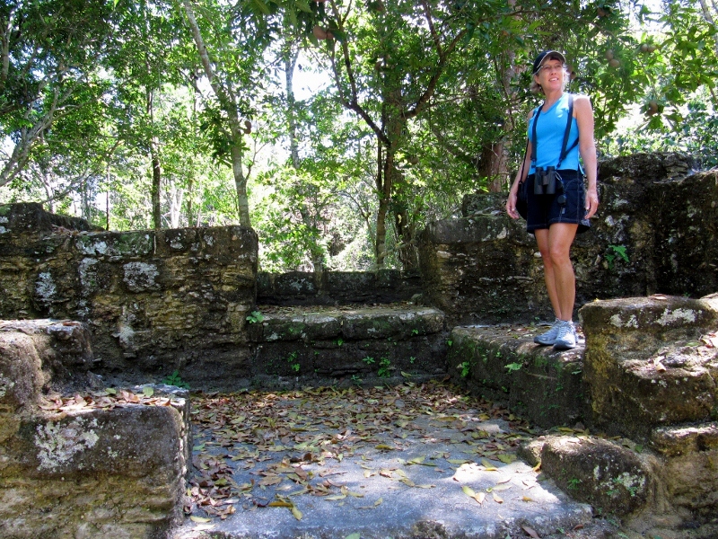
The trail leveled out at the top and opened to a grassy meadow area, where I took a brief rest. The foliage and scenery reminded me a bit of some of our North Carolina and Virginia mountain hikes.
Time to head back down
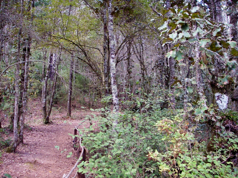
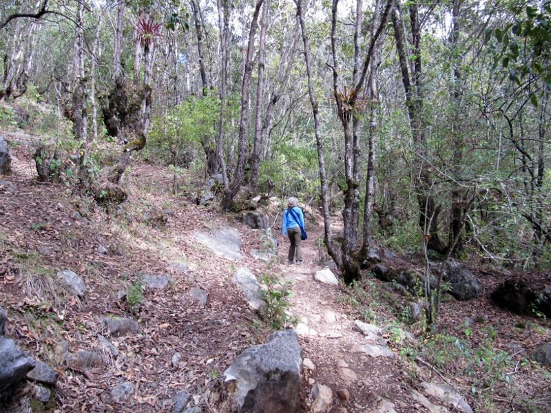
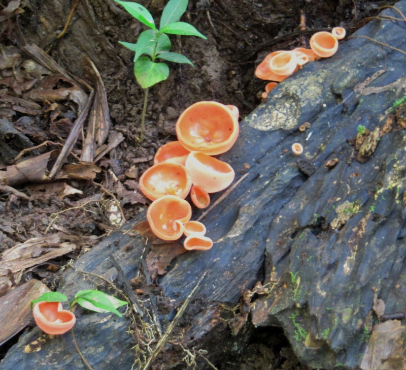
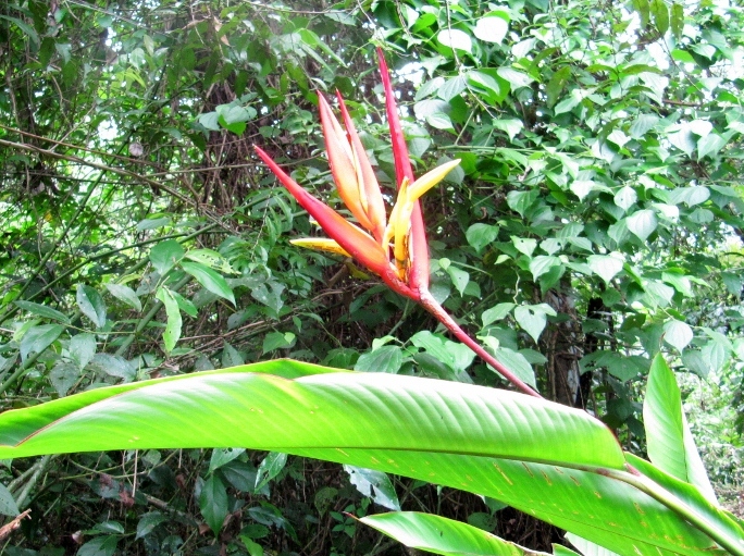
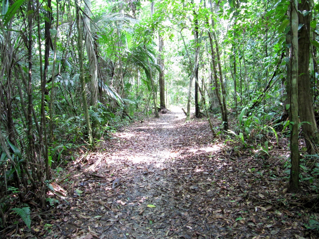
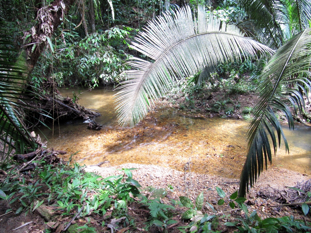
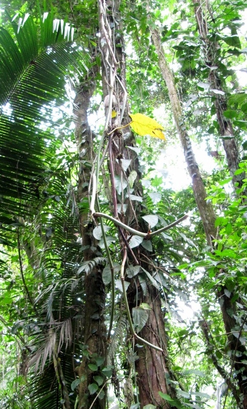
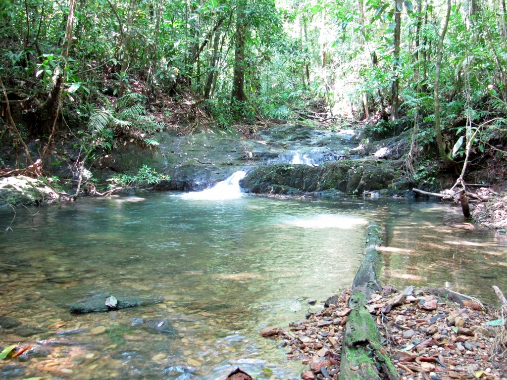
A beautiful forest
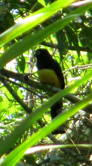
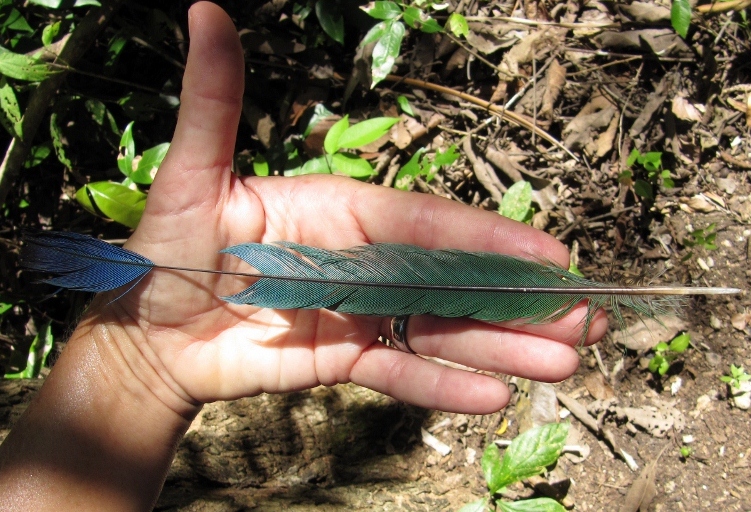
Please stay tuned for bird photos from the orchid garden and much more from San Cristobal, as we continue exploring this beautiful city.


 RSS Feed
